Advertise here with Carbon Ads

This site is made possible by member support. โค๏ธ

Big thanks to Arcustech for hosting the site and offering amazing tech support.

When you buy through links on kottke.org, I may earn an affiliate commission. Thanks for supporting the site!

kottke.org. home of fine hypertext products since 1998.

๐Ÿ”  ๐Ÿ’€  ๐Ÿ“ธ  ๐Ÿ˜ญ  ๐Ÿ•ณ๏ธ  ๐Ÿค   ๐ŸŽฌ  ๐Ÿฅ”

kottke.org posts about Andrei Kashcha

Maps of Every Single Street in Any City

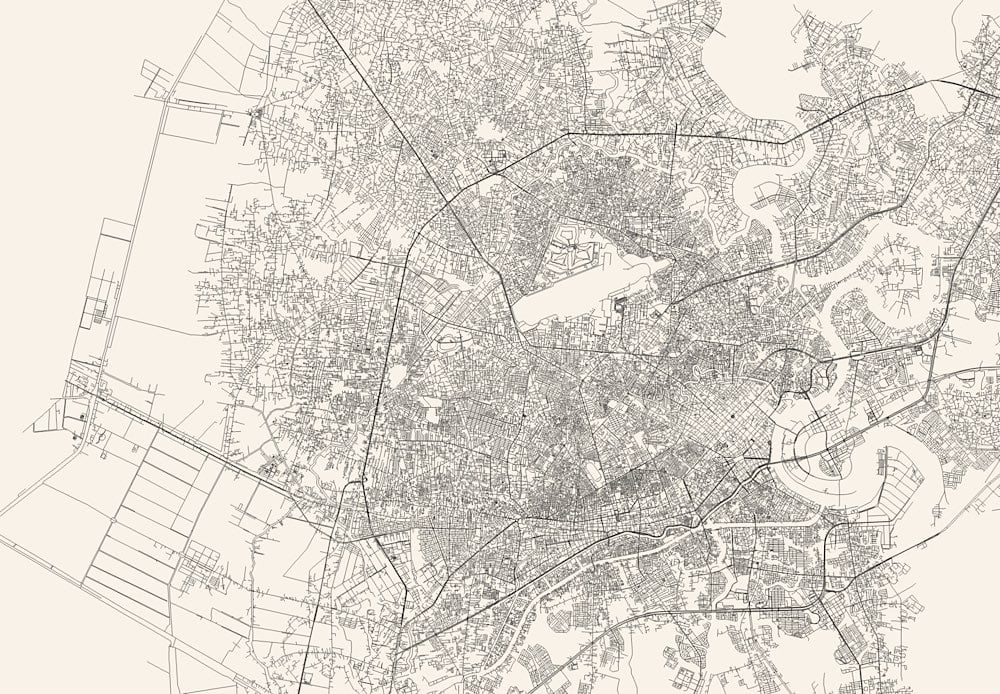
Andrei Kashcha’s City Roads tool will draw you a map of just the roads in any city around the world. I’m in Saigon right now, so I did that one first:

Saigon, just the streets

And this is Paris:

Paris, just the streets

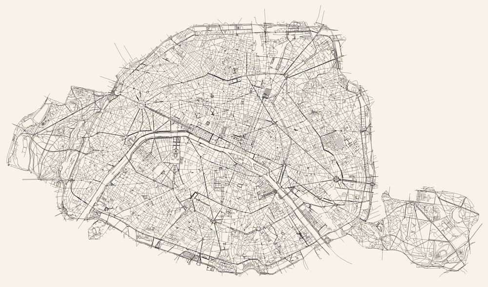
I love that the whitespace reveals more of a city than just roads โ€” you can also see rivers, parks, train lines, stadiums, and airports.

See also Ben Fry’s All Streets project and Nelson Minar’s map of all the rivers in the US.

Update: Javier Pastor compiled a list of similar services that create artistic maps. The article is in Spanish but Google Translate works well on it.


Ridgeline Maps of the World

Ridgeline Map Italy

Using Andrei Kashcha’s Peak Map tool, you can create what’s called a ridgeline chart โ€” picture the album cover for Joy Division’s Unknown Pleasures โ€” of the elevation anywhere on the Earth. Try it out here. (via @eramirez)