Maps of Every Single Street in Any City
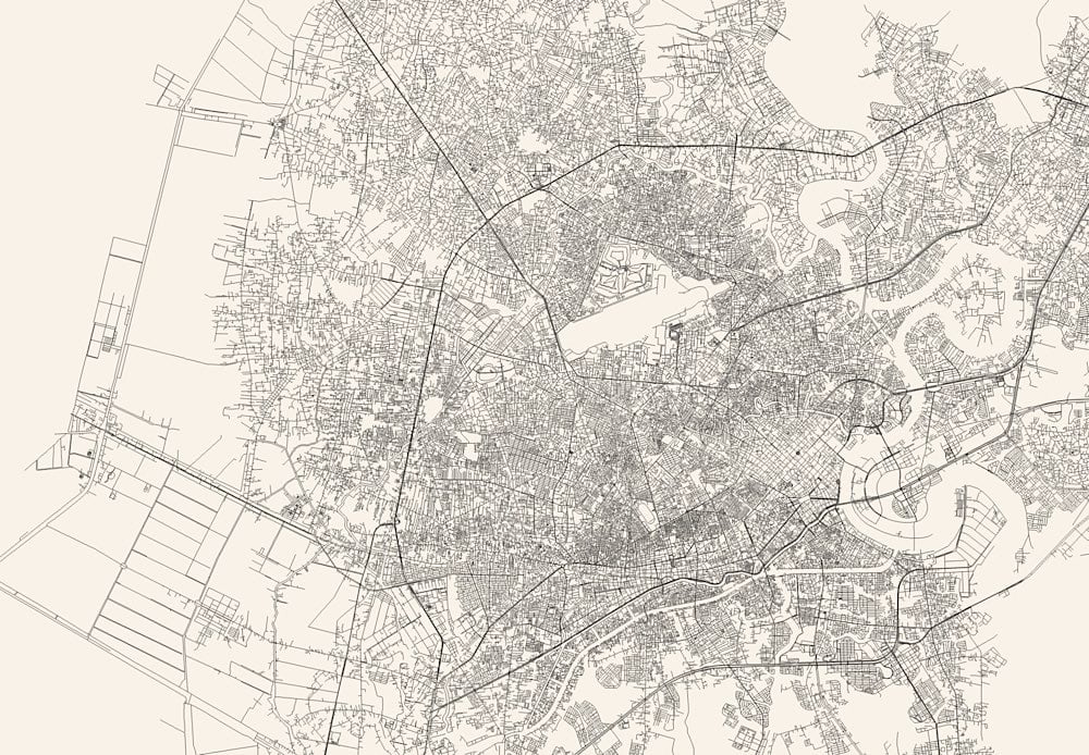
Andrei Kashcha’s City Roads tool will draw you a map of just the roads in any city around the world. I’m in Saigon right now, so I did that one first:

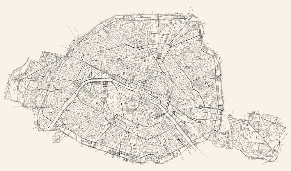
And this is Paris:

I love that the whitespace reveals more of a city than just roads — you can also see rivers, parks, train lines, stadiums, and airports.
See also Ben Fry’s All Streets project and Nelson Minar’s map of all the rivers in the US.
Update: Javier Pastor compiled a list of similar services that create artistic maps. The article is in Spanish but Google Translate works well on it.


Stay Connected