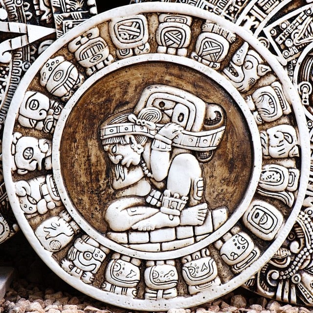
Mayans located their cities according to constellations

15-year-old Canadian William Gadoury has translated his interest in the Mayan civilization into two remarkable discoveries. Gadoury noticed that the locations of the biggest Mayan cities matched the locations of the stars in Mayan constellations. Furthermore, the star charts pointed to the existence of a previously unknown city, the ruins of which have since been uncovered by satellite photography.
“I did not understand why the Maya built their cities away from rivers, on marginal lands and in the mountains,” said Gadoury. “They had to have another reason, and as they worshiped the stars, the idea came to me to verify my hypothesis. I was really surprised and excited when I realized that the most brilliant stars of the constellations matched the largest Maya cities.”
Someone start a Kickstarter campaign so that he can visit those ruins! (via @delfuego)
Update: Due to a mislabeled file on Wikipedia, I used a photo of an Aztec compass instead of a Mayan image. I have replaced with an image of the Mayan zodiac.
Also, per my post about media coverage of science yesterday, I’ll point out quickly that there’s much to be skeptical about re: this story (see this post from a Mesoamerican archaeologist). More likely than not, there’s a Mayan scholar mailing list going bananas right now…I’ll let you know if I hear anything specific.
In the meantime, this story in the Independent contains some satellite photos of the location in question. (via @gunnihinn)
Update: Vice: That 15-Year-Old Kid Probably Didn’t Discover a Hidden Mayan City.
The rectangular feature seen on satellite is likely an old corn field (it’s not the right shape to be a pyramid). There are indeed ancient Maya sites all over the place, and satellite imagery and LiDAR are being used to discover them, but this doesn’t seem to be one of those cases…
On the bright side, the “if it sounds too good to be true, it probably is” study has been successfully replicated again. Science rolls on…


Stay Connected