


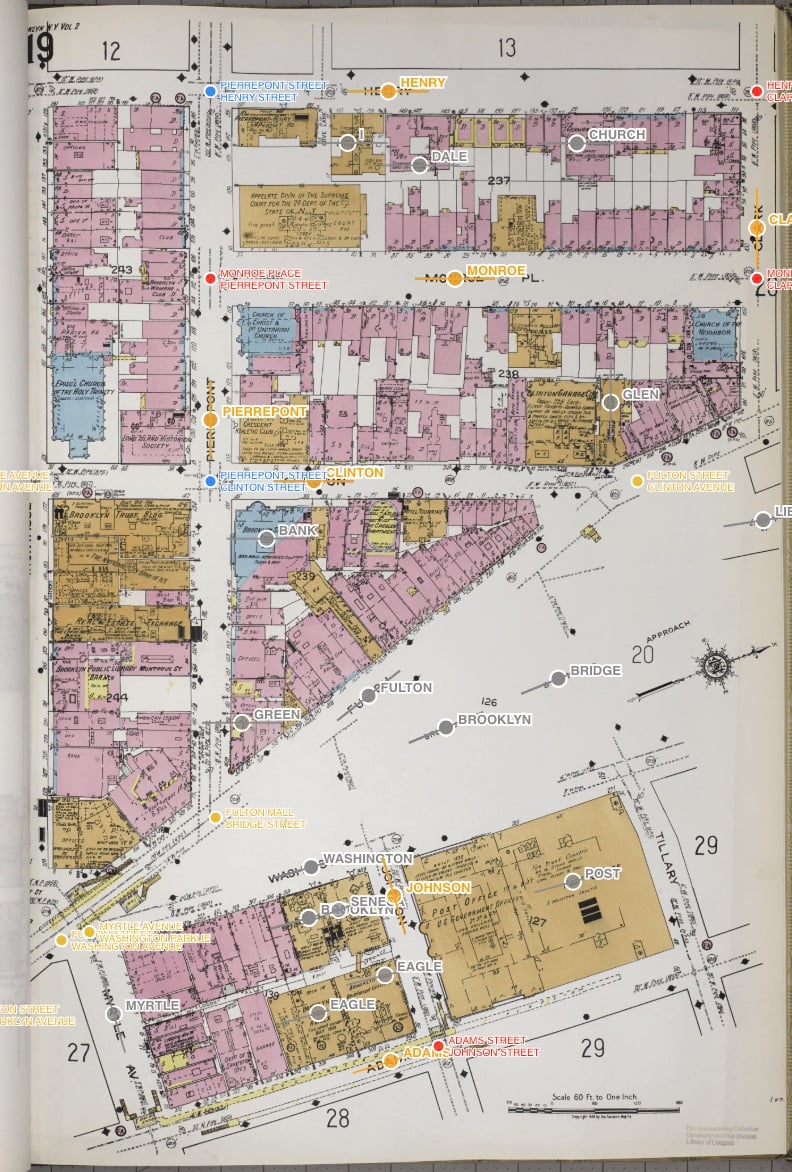
Mapsnap is a program designed to take old Sanborn insurance maps (block-by-block maps of every US city from 1870-1960) and aligning them with modern maps.

Advertise here with Carbon Ads
This site is made possible by member support. 💞
Big thanks to Arcustech for hosting the site and offering amazing tech support.
When you buy through links on kottke.org, I may earn an affiliate commission. Thanks for supporting the site!
kottke.org. home of fine hypertext products since 1998.
Beloved by 86.47% of the web.
Comments 1
The Leventhal Map Center at the Boston Public Library has a really cool app called Atlascope that overlays these old Sanborn maps with current GoogleMaps in the Boston area. You can see housing developments that never came to be, owners from the 1800's, and how some buildings are exactly the same. Still a wip, but cool to look at on your phone when you walk around!
If you feel like this comment goes against the grain of the community guidelines or is otherwise inappropriate, please let me know and I will take a look at it.
In order to comment or fave, you need to be a kottke.org member. Check out your membership options.
Note: If you are a member and tried to log in, it didn't work, and now you're stuck in a neverending login loop of death, try disabling any ad blockers or extensions. Or try logging out and then back in. Still having trouble? Email me!