Satellite imagery search engine
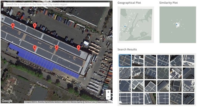
Terrapattern is a search engine for satellite images. You click on a specific feature of interest on a map and the site returns results that match it. For instance, here are the locations of solar panels in NYC.

You can also use Terrapattern to find school bus depots, fracking wells, Air Force bombers, baseball diamonds, train tracks, and much more.
There are only four cities currently represented (Pittsburgh, New York, San Francisco, and Detroit) but this is already super cool to play around with. (via @genmon)


Stay Connected