Kaleidoscope Brain: 100 Visualizations of Moby-Dick
Peter Gorman of Barely Maps has published a wonderful little book called Kaleidoscope Brain that contains 100 visualizations of Moby-Dick. Gorman read Herman Melville’s masterpiece last year and made these maps & graphics to help him make sense of it.
I read Moby-Dick in April 2020. For weeks afterward, I couldn’t stop thinking about it. I started making maps and diagrams as a way to figure it out.
Moby-Dick is infamous for its digressions. Throughout the book, the narrator disrupts the plot with contemplations, calculations, and categorizations. He ruminates on the White Whale, and the ocean, and human psychology, and the night sky, and how it all relates back to the mystery of the unknown. His narration feels like a twisting-turning struggle to explain everything.
Reading Moby-Dick actually made me feel like that-like I’d mentally absorbed its spin-cycle style. I developed a case of “Kaleidoscope Brain.” The maps I was making were obsessive and encyclopedic. They were newer and weirder and they digressed beyond straightforward geography.
The book is available as a free download on Gorman’s Patreon — support his efforts if you find them valuable!
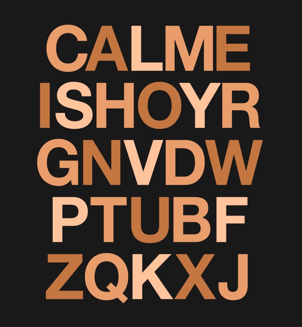
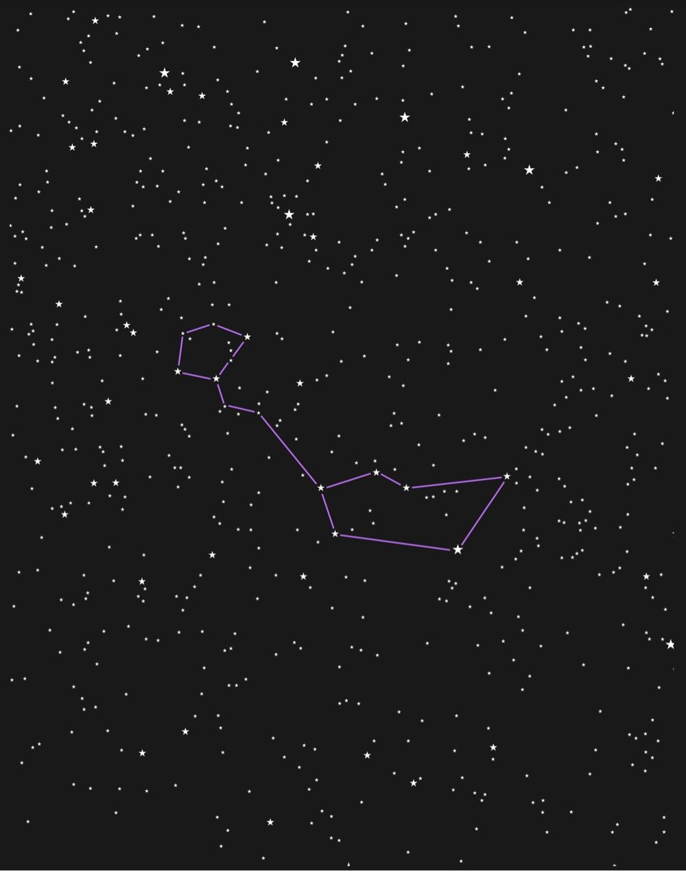
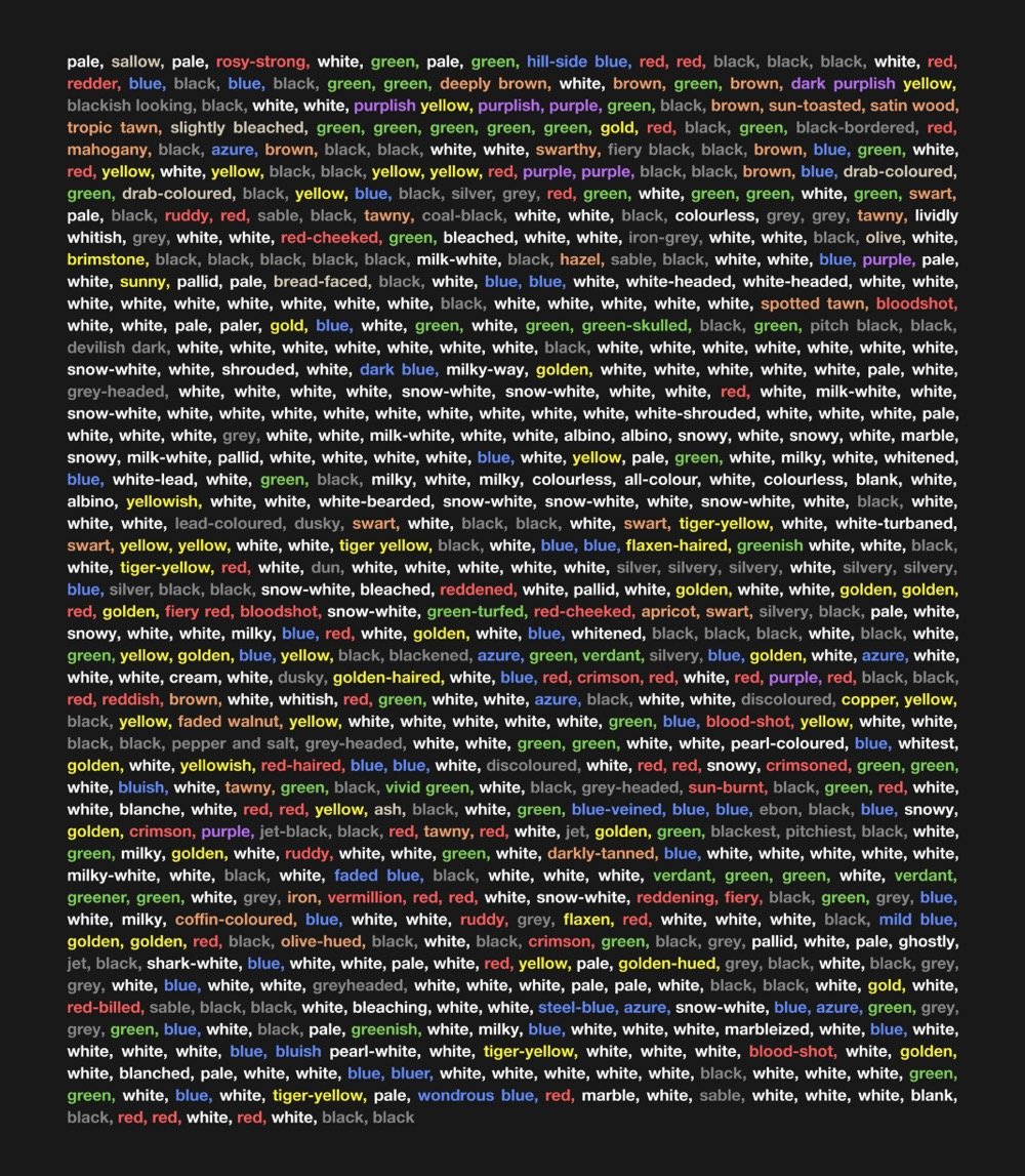
Above, from top to bottom: the letters of the alphabet in order of their appearance in the book, the constellation Cetus (aka “The Whale”), every color in the book.

Socials & More