Gorgeous Low-Angle Satellite Photo of San Francisco
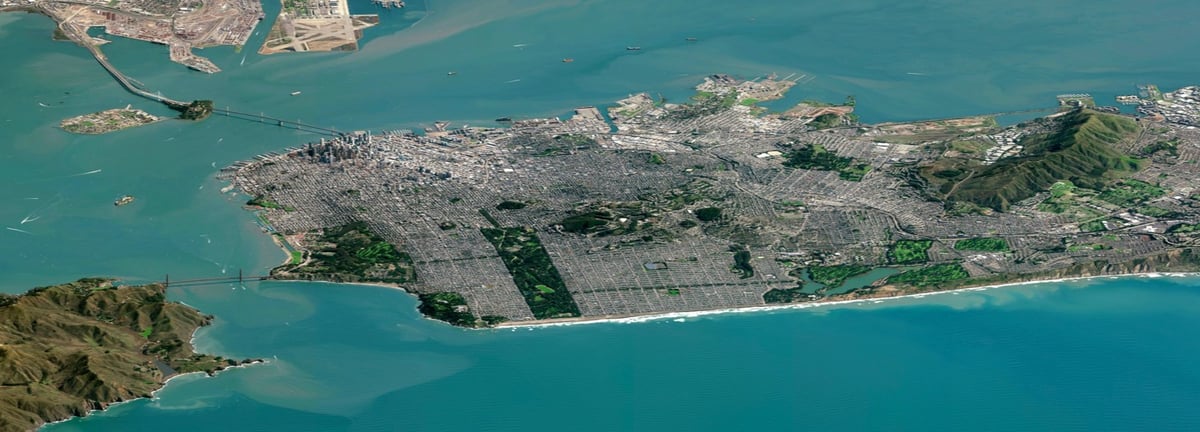
For practical reasons, satellite images are usually taken from straight overhead. But as this low-angle shot of San Francisco taken by DigitalGlobe’s Worldview-3 satellite illustrates, satellites are also capable of capturing more artful & surprising photographs of our planet. Due to the odd angle, it almost looks fake, computer-generated. Look at that toy Golden Gate Bridge connecting SimCity to a hyperrealist painting of the rugged California coast!
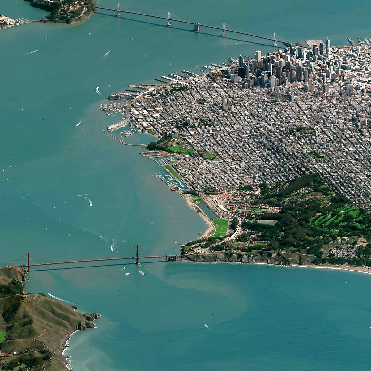
The image is worth seeing at full-resolution…you can find it at DigitalGlobe (they released it under a Creative Commons license) or Imgur. In the nearly full-res view of one slice of the map above, you can make out boats in the bay and even cars on the bridges.
Charlie Loyd of Mapbox explains how they captured such a crisp image:
We don’t often see pictures like this one. The problem is haze: as a camera in space looks toward the horizon, it sees more water vapor, smog, and other stuff in the atmosphere that obscures the Earth. But our friends at DigitalGlobe built WorldView-3 with a sensor suite called CAVIS, which lets it quantify and subtract haze - making atmospheric effects virtually invisible. Only WorldView-3 can see so clearly at this angle.
See also more satellite images taken from the side. (via daily overview)
Socials & More