A Massive Trove of Aerial Photos of Glaciers
Over at Beautiful Public Data, Jon Keegan shares some details about two huge collections of aerial photos of glaciers.
As scientists study the effects of global warming, one of the most visible and alarming indicators is the rapid shrinking of glaciers. Government scientists have been documenting the size, shape, and movement of glaciers since the 1950s employing techniques ranging from direct field observations to aerial photography.
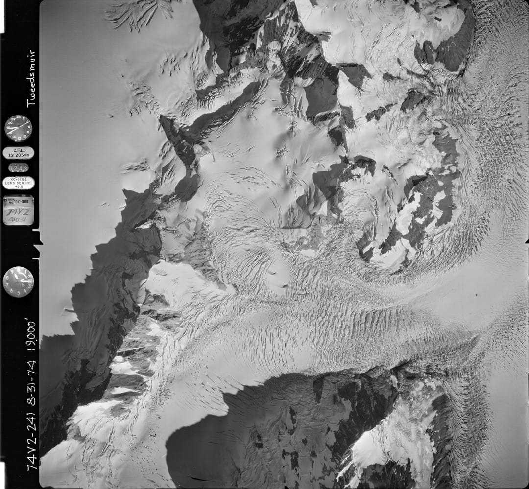
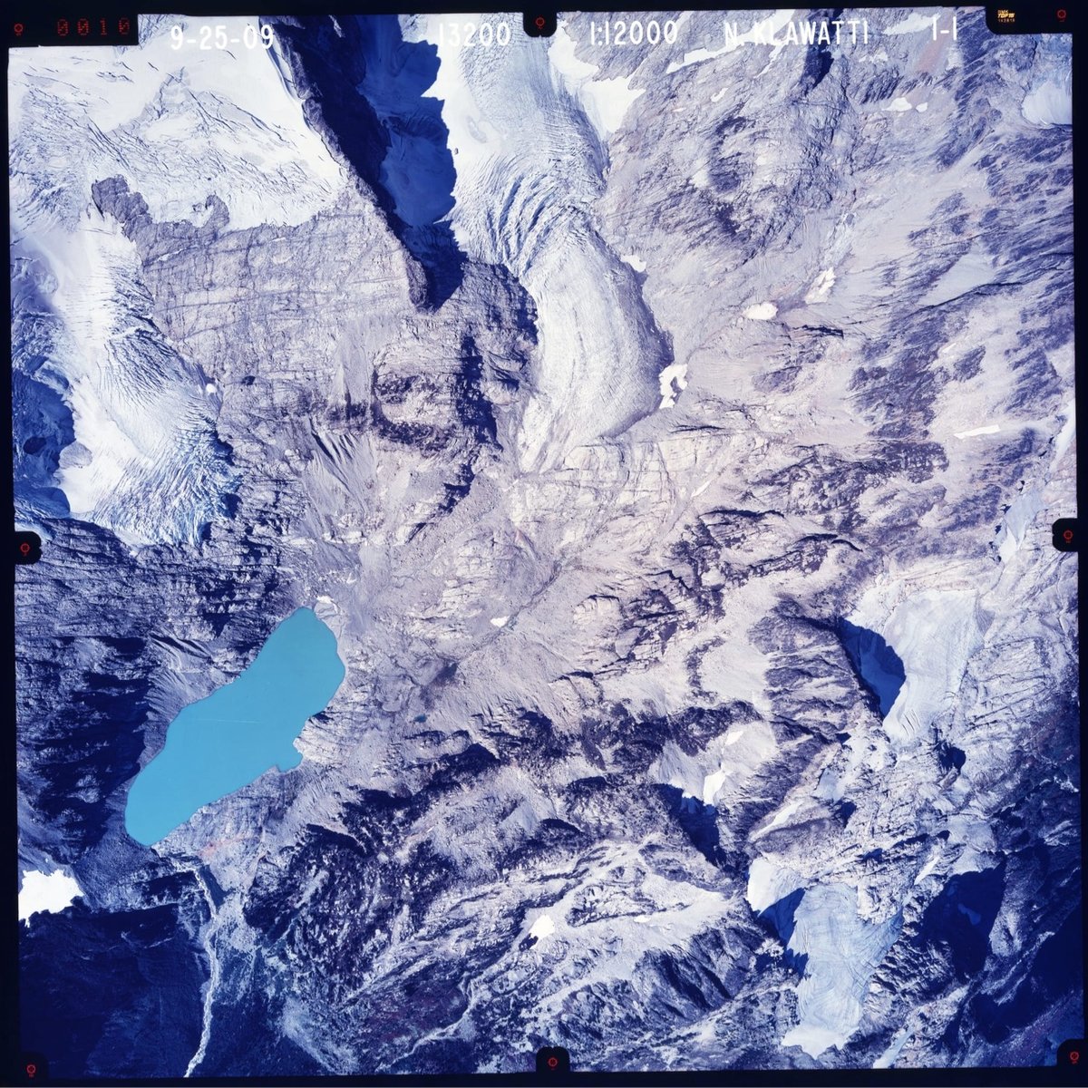
The United States Geological Survey (USGS) has one of the largest collections of aerial glacier photographs. Over 40 years, the USGS’ North American Glacier Aerial Photography (NAGAP) project captured thousands of striking high-resolution photos of glaciers and their surroundings.
From 1960 to 1983, self-taught glaciologist Austin Post used a 63-pound World War II-era Fairchild K-17 aerial reconnaissance camera to shoot over 100,000 glacier photos in the western US and Alaska. One of the bush pilots Post teamed up with was William R. Fairchild, who flew a Beech 18 twin engine airplane equipped with five K-17 cameras-one mounted on the nose, two in the belly of the plane, and one on each side.
Socials & More