Inuit Coastline Maps Carved from Driftwood
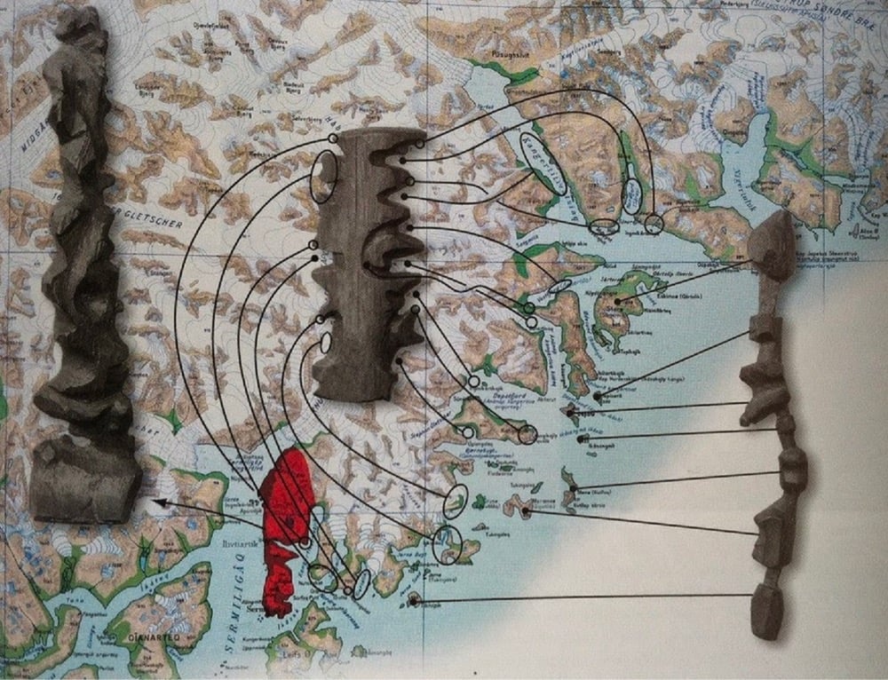
I love these coastline contour maps made by the Inuit people of Greenland. So simple and functional.
In Kalaallit Nunaat (Greenland), the Inuit people are known for carving portable maps out of driftwood to be used while navigating coastal waters. These pieces, which are small enough to be carried in a mitten, represent coastlines in a continuous line, up one side of the wood and down the other. The maps are compact, buoyant, and can be read in the dark.
See also the Marshall Islands Navigation Charts. (thx, kate)




Stay Connected