NASA’s new nighttime map of the entire Earth


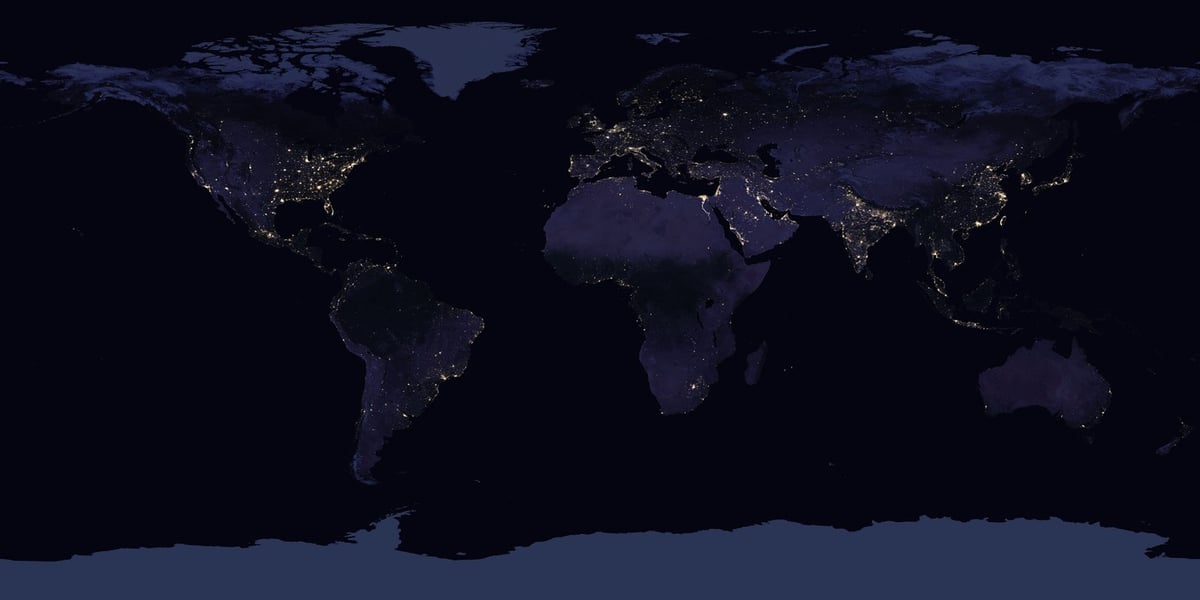
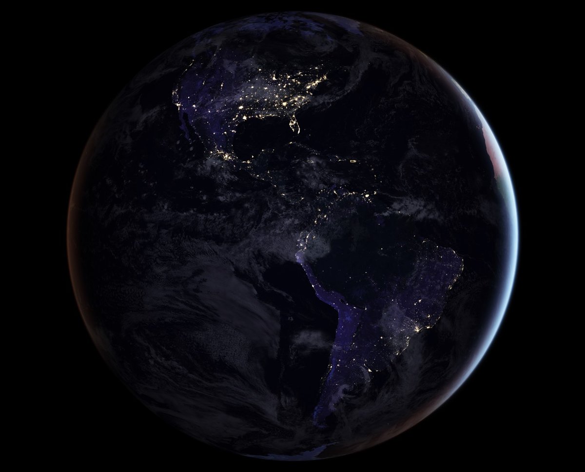
For the first time since 2012, NASA has released a new map of the entire Earth at night. Of course, you don’t see the Earth so much as the activity of humans in well-lit cities.
Today they are releasing a new global composite map of night lights as observed in 2016, as well as a revised version of the 2012 map. The NASA group has examined the different ways that light is radiated, scattered and reflected by land, atmospheric and ocean surfaces. The principal challenge in nighttime satellite imaging is accounting for the phases of the moon, which constantly varies the amount of light shining on Earth, though in predictable ways. Likewise, seasonal vegetation, clouds, aerosols, snow and ice cover, and even faint atmospheric emissions (such as airglow and auroras) change the way light is observed in different parts of the world. The new maps were produced with data from all months of each year. The team wrote code that picked the clearest night views each month, ultimately combining moonlight-free and moonlight-corrected data.
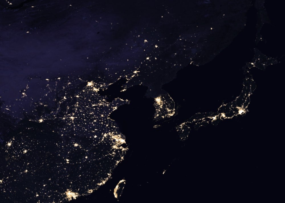
Scientists are planning on providing “daily, high-definition views of Earth at night” starting later this year. It’s worth clicking through to play with the interactive India map…it’s astounding to see how much light the country has added in the past 5 years. And see if you can spot North Korea at night:

Barely…just a tiny dot for Pyongyang. You can play around with a fully zoomable version of the entire map here. (via @JamesJM)


Stay Connected