The Jefferson Grid
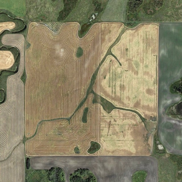
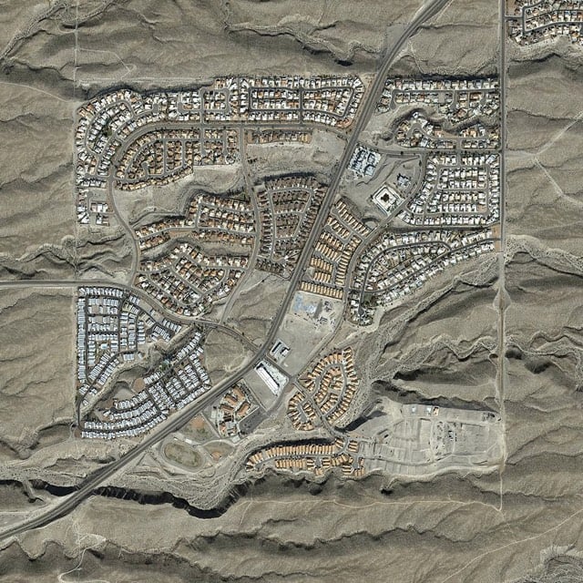
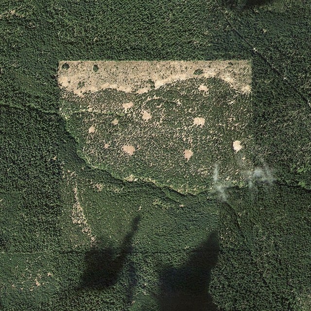
The Jefferson Grid is an Instagram account which posts satellite photos picturing one square mile of land.


The account takes its name from the grid Thomas Jefferson used to divide up the growing United States.
The Land Ordinance of 1785, drafted by Thomas Jefferson, extended government authority over the Mississippi River and the Great Lakes regions. As a response to what he believed to be a confusing survey system already in use, Jefferson suggested a new grid system based on the rectangle. The grid divided land into plots one mile square, each consisting of 640 acres. The grid also placed a visible design upon a relatively untouched landscape. The ordinance was the first of its kind in America but would continue to affect urban, suburban and farmland planning to present day.
(via @bldgblog)


Stay Connected