The sea of NYC

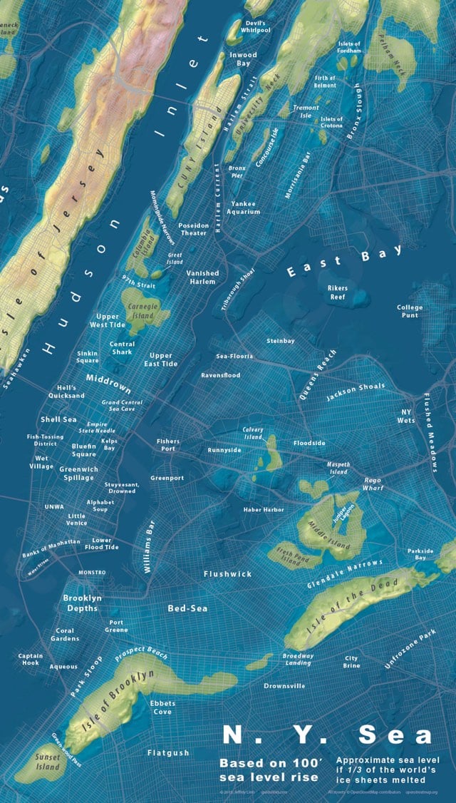
Jeffrey Linn makes maps that show how extreme sea level increase will impact major cities around the globe. Recently he made a map of NYC showing what it would look like if sea levels rose by 100 feet, which is what would happen if a third of the world’s ice sheets melted. So long, most of Manhattan and Brooklyn; hello Coral Gardens, Prospect Beach, and Sunset Island. Prints are available.
See also Linn’s maps of a drowned London, the bay of LA, and islands of Seattle.


Stay Connected