Medieval maps from the 11th to 14th centuries
From Retronaut, a collection of maps dating from 1000-1300s.
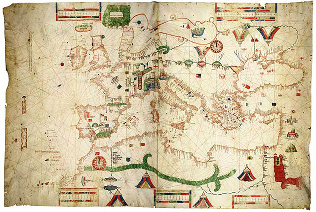
How were maps perceived 1000 years ago? Did they blow people’s minds with physically impossible views of cities, states, and continents? Could a circa-1200 scholar imagine himself looking down from several miles in the air and seeing the same thing he was seeing on a map?
Socials & More